
Whitpain Township Neighbors by Source
Whitpain Township neighbors are best understood as a narrow block question. Start with the selected parcel, then inspect the visible parcel relationships around it. The county's interactive tax map provides spatial context, and Property Records provides an address or parcel route. Neither one has a public owner-name search, nor does either prove everyone in a home. Recorded instruments, voter lists, and township files should be used only for the distinct record question each is designed to answer.
| Source | Block information | Access and limit |
|---|---|---|
| County interactive tax map | Visible parcel relationships, roads, and municipal context | Visual tool, not a legal boundary survey |
| Property Records | Address or parcel match for a selected parcel | Address/parcel only, not an owner-name lookup |
| Recorder instruments | Recorded parties and documents tied to a parcel | Account required; a recorded party is not a household list |
| County voter Street List | Lawfully requested street-list fields | Written request, statutory affirmation, no internet publication |
| Zoning and development files | Project or applicant tied to a street address | Planning evidence, not a block roster |
For a longer named-street research trail, the Whitpain Township street directory follows the address and recorded-document chain without treating it as an occupancy list.
Map a Whitpain Township Block
The county says its interactive tax map helps explain spatial relationships between properties. That makes it the right first stop for Whitpain Township neighbors. The research did not verify a radius, buffer, or automatic nearby-parcel tool. Pan, zoom, and use the parcel relationships actually visible in the live map instead of relying on a feature the county has not documented. A licensed survey, not the screen map, controls a legal boundary on the ground.
- Enter the known Whitpain Township address or parcel number in Property Records and preserve the exact parcel identifier.
- Open the county map and use the selected parcel as the reference point for surrounding visible parcels and roads.
- For a particular parcel, use the address or parcel identifier in the Recorder system and retain only the recorded document information actually shown.
- Compare a dated township planning record only when it relates to that address, application, or time frame.
- Use a counter, archive, or community contact when the question is historical or the online record lacks the needed context.
Montgomery County Data & Mapping Services is the official entry point for the public geospatial and tax-map resources.
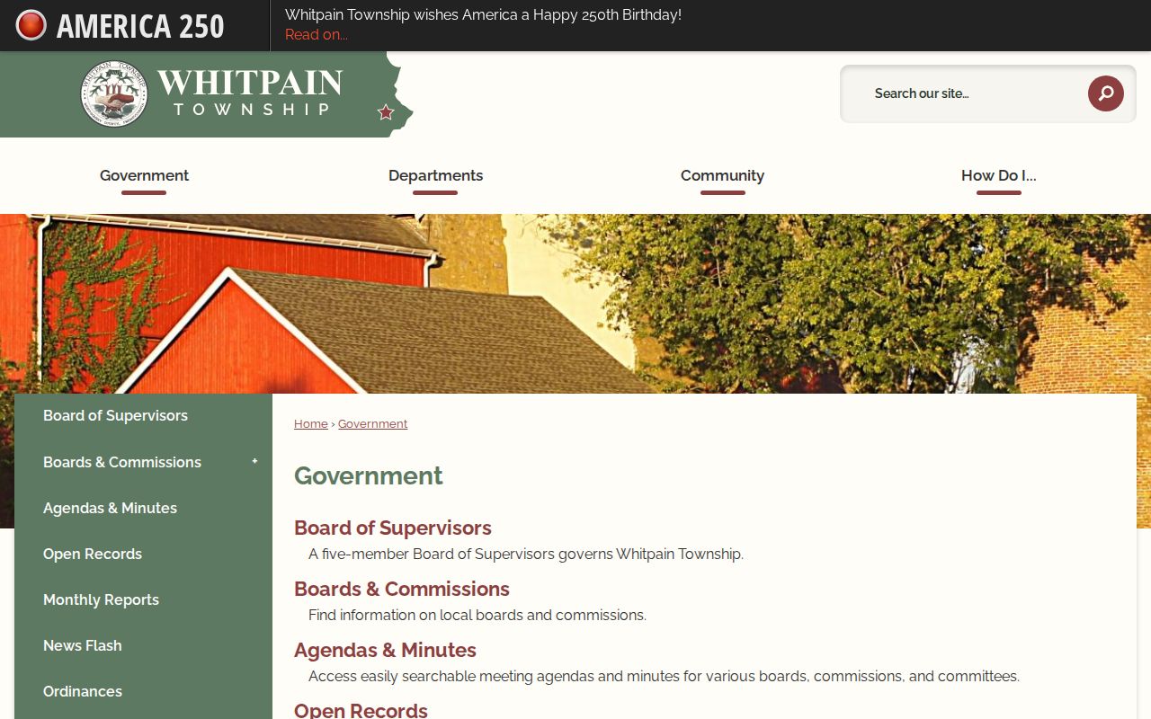
The township government route supplies agendas, applications, public-record contacts, and other municipal material that can add a dated public context to a Whitpain Township block.
Whitpain Township Parcels Are Not Homes
The county assessment portal deliberately removed public owner-name searching on June 17, 2022. It starts with street address or parcel number. The public landing material did not verify every field on a parcel card, including a mailing address, value, or sale history. Do not assume a listed mailing address would establish where a person sleeps, and do not label every party in a deed as a current neighbor.
A parcel is a land record. A situs address identifies its physical place. A recorded instrument can name a party in a transfer or security record. Each item can be useful for a Whitpain Township block question, but none shows renters, other household members, private contacts, utility customers, delivery data, or protected-address information.
- Parcel
- A defined tract used in property and assessment records.
- Situs address
- The physical address assigned to a parcel or property.
- Recorded party
- A person or entity named in a recorded document, not necessarily a current occupant.
- Survey
- A professional boundary determination, distinct from a visual tax map.
Whitpain Township Street Lists
Pennsylvania has a lawful voter-record route, but it is not a public web directory. The Department of State request form describes a Street List with name, residential address, mailing address, party, and active or inactive status. Montgomery County mirrors the process through Voter Services. The request requires identification and a signed affirmation under 25 Pa.C.S. §§ 1207(b) and 1404(c)(2).
Those forms prohibit ordinary internet publication and restrict use. The state registration-status tool is for checking the searcher's own registration, not browsing Whitpain Township neighbors. An Address Confidentiality Program participant may use a substitute address. A nonmatch or protected record is not a gap to overcome.
Montgomery County Voter Services is the local office for questions about the documented request route.
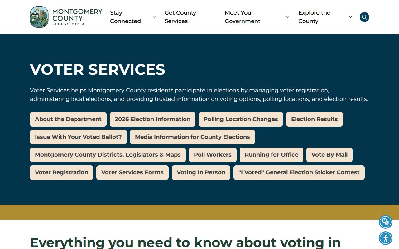
Voter Services is the proper local contact for permitted record requests, access rules, and current election-record questions.
Whitpain Township Project Addresses
The Township publishes a current and pending land-development list and a Zoning Hearing Board page. A typical zoning item may identify an application number, applicant, street address, and hearing date, with decision links by meeting date. This creates a useful, current address layer for Whitpain Township neighbors when the question is about a public project or land-use matter.
It does not establish residence. Some linked application material is marked redacted, and the Township does not describe these pages as a universal permit database. For an identifiable permit or municipal document, ask Code Enforcement or use a targeted Right-to-Know request that states the address, date range, document type, and requested medium.
Whitpain's pending and active development list is the official source for this address-focused planning layer.
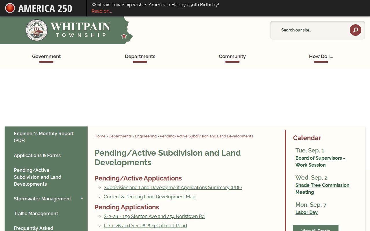
Project listings can help date a public change at a Whitpain Township address without making a claim about every person connected to the block.
Whitpain Township Community Contacts
Whitpain's official quick-links inventory identifies the Blue Bell Country Club Community Association and the Whitpain Residents Organization. They are community contact leads, not confirmed resident directories. The research did not find a public member roster, a block-watch list, or evidence that either group covers every Whitpain Township neighborhood.
| Community contact | What is verified | Safe use |
|---|---|---|
| Blue Bell Country Club Community Association | Listed in Whitpain's official quick links | Ask about public community information and its access policy |
| Whitpain Residents Organization | Listed in Whitpain's official quick links | Use as a civic contact, not a membership claim |
| WVHS and HSMC | Local maps, tax ledgers, newspapers, and community material | Ask for historic street or subdivision context |
Blue Bell, Broad Axe, Centre Square, and West Ambler are the township's four village areas. That geography can guide a historical inquiry, but it does not turn a village name into a full neighbor list.
Whitpain Township Map Limits
Official records are preferable to commercial neighbor-lookup categories because each comes with a stated custodian, date, scope, and correction route. A commercial category may combine stale or unmatched material and cannot replace the county parcel, Recorder, Voter Services, township, or archive record. When a fact is wrong, contact the office that created that record with the parcel, case, document, or application number.
County GIS gives spatial context. A licensed survey gives the legal boundary. A Recorder document identifies a recorded transaction. That comparison is especially important in Whitpain Township, where Blue Bell is a postal label and the township, parcel, and mailing geography can differ.
Whitpain Township Neighbor Privacy
Address confidentiality and redaction are part of the records system. Pennsylvania's Address Confidentiality Program supplies eligible participants with a substitute address for several record systems, including voter and court-related records. The Whitpain Police records page also describes exemptions for investigative reports, criminal-history information, and many juvenile records, as well as privacy and personal-security redactions.
Pennsylvania's Address Confidentiality Program is a safety route for eligible participants. Public sources should never be used to find around that protection. The state also warns that harassment and stalking can carry criminal consequences.
The Whitpain Police records form is for a defined request, not a public incident index.
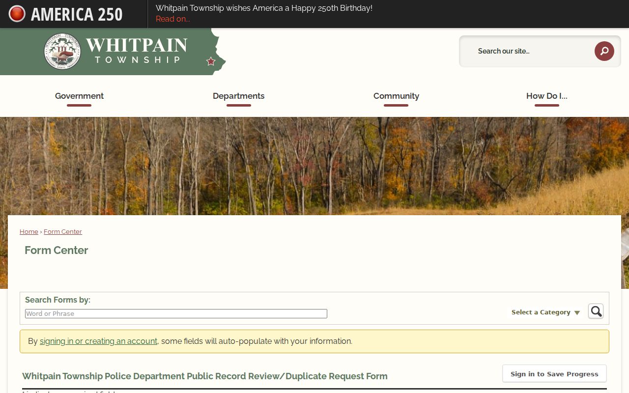
The form shows the detail a requester must provide when seeking an eligible, identifiable municipal record through the proper channel.
Lawful use. Use Whitpain Township neighbor information for civic curiosity, community context, and lawful personal research. Never use it to stalk, harass, threaten, or harm anyone.